 © mike connealy
|
La Bajada rock art index page | |
|
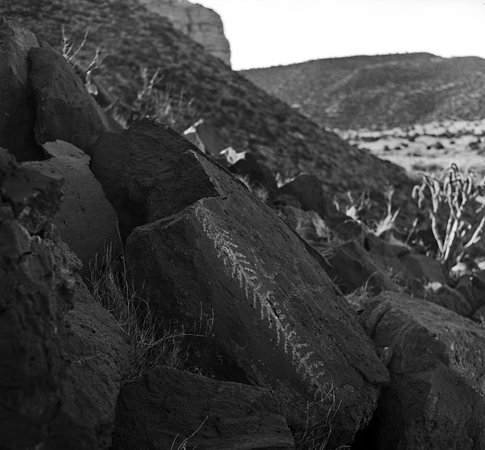
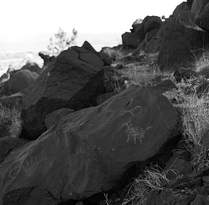
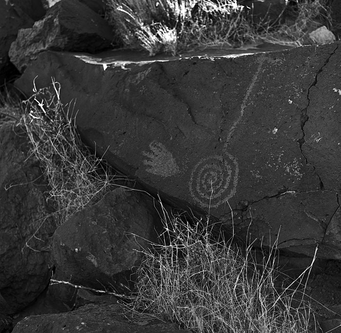
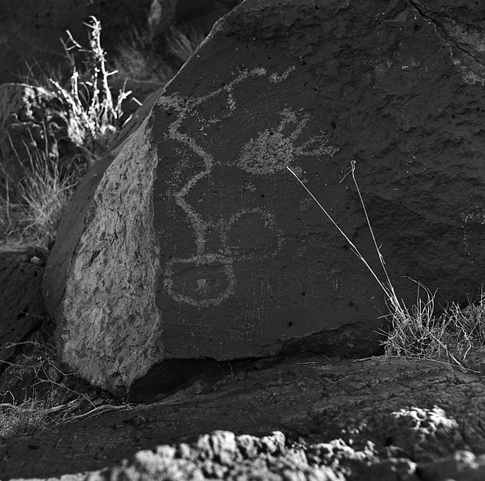
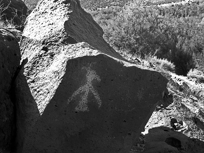
La Bajada is best known today for the remnants of the old Route 66 alignment which snakes up over the escarpment above the Santa Fe River. That famous roadway, however, was preceded by older north/south routes including the colonial Spanish Camino Real which stretched all the way from Mexico City to Santa Fe. Before that, the local native people followed trails across the mesas and down the river canyon for thousands of years. Many petroglyphs can be seen on the slopes beside the eroded Bajada roadway which are thought to date mostly from the height of the Puebloan period between AD 1300-1600.
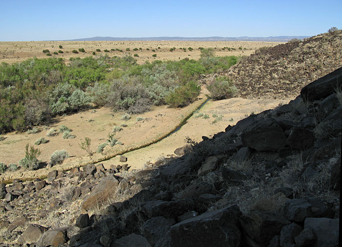
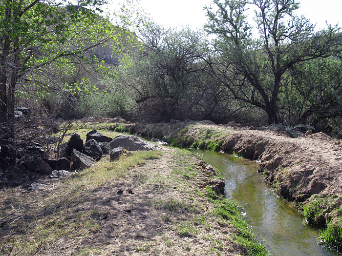
An acequia at the base of the escarpment carries Santa Fe River water to cultivated fields and pastures around the village of La Bajada. |
| |
|
rock art index page |
|